The Evolution Of Mapping Technology
From Cartography To GPS
Since the dawn of civilisation, humans have sought ways to navigate and understand their surroundings. Mapping, the art and science of creating visual representations of the Earth’s surface, has played a crucial role in this endeavour. From ancient cartography to modern GPS systems, mapping technology has undergone a remarkable evolution, revolutionising how we explore and navigate the world. In this article, we will trace the journey of mapping technology, highlighting key milestones and the impact they have had on our lives.
The Dawn Of Mapping
Mapping has its roots in ancient civilisations, with early examples dating back thousands of years. Ancient cultures, such as the Sumerians, Egyptians, Greeks, and Chinese, developed rudimentary maps to assist in land surveying, trade routes, and military planning. These early maps were often hand-drawn on materials like papyrus, clay tablets, or animal skins, depicting geographical features and landmarks.
The Age Of Exploration: Advancements In Cartography
The Age of Exploration in the 15th and 16th centuries spurred advancements in cartography (the drawing of maps). Explorers like Christopher Columbus and Ferdinand Magellan relied on maps to navigate uncharted territories and chart new routes. Pioneers in cartography, such as Gerardus Mercator, developed projection techniques that allowed for more accurate representations of the Earth’s curved surface on flat maps. These advancements laid the foundation for those we still use today.
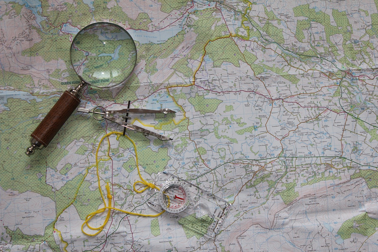
The Advent Of Aerial Photography And Topographic Maps
The 19th and early 20th centuries brought about significant advancements in mapping technology. Aerial photography became a game-changer, enabling the creation of detailed maps from above. In 1858, French photographer Gaspard-Félix Tournachon, known as Nadar, captured the first aerial photograph from a hot air balloon. This technique revolutionised cartography, providing a bird’s-eye view of landscapes and enabling greater precision and detail. Topography (def. The arrangement of the physical features of an area of land) also emerged during this period. These new maps combined geographical and geological data to represent three-dimensional terrain on a two-dimensional surface. Topographic maps became crucial tools for military planning, infrastructure development, and environmental analysis, providing valuable information about landforms, elevation, and natural features.
The Digital Revolution: GIS And GPS
The advent of computers and digital technology brought about a seismic shift in mapping. Geographic Information Systems (GIS) became widely used, allowing for the integration and analysis of geospatial data. GIS enabled the creation of dynamic, interactive maps that could overlay various layers of information, such as population density, land use, and environmental data. These maps became indispensable tools for urban planning, natural resource management, and disaster response.
The most transformative development in mapping technology came with the introduction of the Global Positioning System (GPS). GPS utilises a network of satellites to determine precise positioning on Earth. Originally developed for military purposes, GPS became accessible to civilians in the 1990s. It revolutionised navigation, enabling accurate real-time positioning and providing turn-by-turn directions to individuals worldwide through portable GPS devices and smartphone applications.
Mapping In The Digital Age
Mapping technology continues to evolve in the digital age. High-resolution satellite imagery, LiDAR (Light Detection and Ranging) technology, and advanced data analytics are enhancing the accuracy and detail of maps. Interactive online mapping platforms like Google Maps and OpenStreetMap have become ubiquitous, providing easy access to maps and driving directions on a global scale. Augmented reality (AR) and virtual reality (VR) technologies also hold the promise of immersive and interactive mapping experiences, transforming how we explore and understand our environment.
